Search Constraints
Filtering by:
Collection
UC Santa Cruz Aerial Photographs Collection
Remove constraint Collection: UC Santa Cruz Aerial Photographs Collection
Creator
Fairchild Aerial Surveys, inc.
Remove constraint Creator: Fairchild Aerial Surveys, inc.
Type
Collection
Remove constraint Type: Collection
Number of results to display per page
Search Results
12 results for:
-
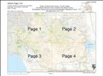
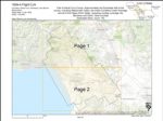
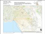
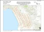
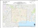
1954-A Santa Cruz County Flight C-20607
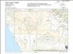 Variant Title:Creator:Type:Place:Date Created:[1954]Description:Subject:Santa Cruz County, Pajaro Valley, Watsonville, and Monterey CountyCall Number:1954-A
 -
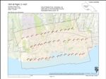
1941 City of Santa Cruz and Vicinity Flight C-7054
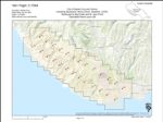 Variant Title:Creator:Type:Place:Date Created:[1941]Subject:University of California, Santa Cruz, Santa Cruz County, Santa Cruz, Waddell Creek Beach, University of California Santa Cruz, San Lorenzo River Mouth, Antonelli Pond, Bonny Doon, Live Oak, Davenport, Pogonip, Greyhound Rock, Natural Bridges State Beach, Swanton, and Santa Cruz Small Craft HarborCall Number:1941
 -
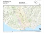
1940 Santa Cruz County Flight C-6472
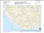 Creator:Type:Place:Date Created:[1940]Subject:Lighthouse Field, Wilder Ranch State Park, Felton, Santa Cruz, Santa Cruz Small Craft Harbor, University of California Santa Cruz, San Lorenzo River Mouth, Antonelli Pond, San Lorenzo Valley, Live Oak, Pogonip, Natural Bridges State Beach, Scotts Valley, Santa Cruz County, and Soquel PointCall Number:1940
 -
1939-F Santa Clara County Flight CIV
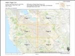 Variant Title:Creator:Type:Place:Date Created:[1939]Subject:Santa Cruz County, Los Gatos, Santa Clara, San José International Airport, Alameda, San Jose, Santa Clara Valley, San Mateo, San Jose State University, Saratoga, Mountain View, Palo Alto, Santa Clara, San Lorenzo Valley, and Almaden CanyonCall Number:1939-F
 -
1939-E Santa Clara County Flight CIV
 Variant Title:Creator:Type:Place:Date Created:[1939]Subject:Santa Cruz County, Morgan Hill, Coyote Creek, New Almaden, Santa Clara, San Benito, Henry W. Coe State Park, Merced, Stanislaus, Santa Clara Valley, Gilroy, San Martin, and Loma PrietaCall Number:1939-E
 -
1939-A Santa Cruz County Flight CJA
 Variant Title:Creator:Type:Place:Date Created:[1939]Subject:Elkhorn Slough and Pajaro RiverCall Number:1939-A
 -
1937 Santa Cruz County and Monterey County Flight 13-ABG
 Variant Title:Creator:Type:Place:Date Created:[1937]Subject:Santa Cruz County, Gonzales, Pajaro Valley, San Ardo, Elkhorn Slough, Salinas Valley, Watsonville, King City, Monterey County, Salinas, Soledad, and GreenfieldCall Number:1937
 -
1935 Santa Cruz County Flight C-3300
 Variant Title:Creator:Type:Place:Date Created:1935Subject:Santa Cruz County, Watsonville Municipal Airport, Pajaro Valley, Santa Clara, The Forest of Nisene Marks State Park, La Selva Beach, Watsonville, Aptos, and CorralitosCall Number:1935
 -
1931-D Santa Cruz County Flight C-1550
 Variant Title:Creator:Type:Place:Date Created:[1931]Subject:Santa Cruz County, Watsonville Municipal Airport, Pajaro Valley, La Selva Beach, Watsonville, Corralitos, Monterey County, and AptosCall Number:1931-D
 -
1931-C Santa Cruz County Flight C-1437
 Variant Title:Creator:Type:Place:Date Created:[1931]Subject:Santa Cruz County, Santa Cruz, and San Lorenzo River MouthCall Number:1931-C
 -
1931-B Santa Cruz County Flight C-1437
 Creator:Type:Place:Date Created:[1931]Subject:Lighthouse Field, Soquel Point, Capitola, Pajaro Valley, Santa Cruz, Santa Cruz Small Craft Harbor, The Forest of Nisene Marks State Park, University of California Santa Cruz, San Lorenzo River Mouth, Live Oak, Pogonip, Natural Bridges State Beach, Santa Cruz County, and Wilder Ranch State ParkCall Number:1931-B
 -
1931-A Santa Cruz County Flight C-1437
 Creator:Type:Place:Date Created:[1931]Subject:Santa Cruz County, Felton, Santa Cruz, University of California Santa Cruz, San Lorenzo River Mouth, San Lorenzo Valley, and PogonipCall Number:1931-A
Limit your search
- UC Santa Cruz Aerial Photographs Collection[remove]12