Search Constraints
Filtering by:
Collection
1935 Santa Cruz County Flight C-3300
Remove constraint Collection: 1935 Santa Cruz County Flight C-3300
Collection
UC Santa Cruz Aerial Photographs Collection
Remove constraint Collection: UC Santa Cruz Aerial Photographs Collection
Creator
Fairchild Aerial Surveys, inc.
Remove constraint Creator: Fairchild Aerial Surveys, inc.
Number of results to display per page
Search Results
147 results for:
-
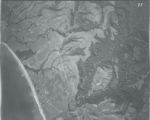
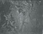
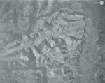
1935 Santa Cruz County Flight C-3300 9b
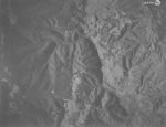 Creator:Type:Place:Date Created:1935Description:Subject:Mount Madonna and Little Arthur Creek
 -
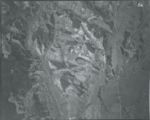
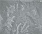
1935 Santa Cruz County Flight C-3300 9a
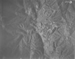 Creator:Type:Place:Date Created:1935Description:Subject:Mount Madonna and Little Arthur Creek
 -
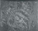
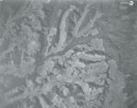
1935 Santa Cruz County Flight C-3300 99
 Creator:Type:Place:Date Created:1935Description:Subject:Pacific Ocean
 -
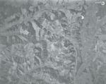
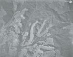
1935 Santa Cruz County Flight C-3300 98
 Creator:Type:Place:Date Created:1935Description:Subject:Pacific Ocean
 -
1935 Santa Cruz County Flight C-3300 97
 Creator:Type:Place:Date Created:1935Description:Subject:Hidden Beach, Pacific Ocean, and Valencia Lagoon
 -
1935 Santa Cruz County Flight C-3300 96
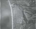 Creator:Type:Place:Date Created:1935Description:Subject:Rio Del Mar Beach and Pacific Ocean
 -
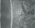
1935 Santa Cruz County Flight C-3300 95
 Creator:Type:Place:Date Created:1935Description:Subject:Valencia Creek, Seacliff State Beach, Pacific Ocean, and Trout Creek
 -
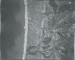
1935 Santa Cruz County Flight C-3300 94
 Creator:Type:Place:Date Created:1935Description:Subject:Seacliff State Beach, Pacific Ocean, Trout Creek, and Aptos Creek
 -
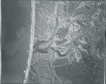
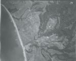
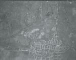
1935 Santa Cruz County Flight C-3300 93
 Creator:Type:Date Created:1935Description:Subject:New Brighton State Beach, Cabrillo College Main Campus, and Aptos Creek
 -
1935 Santa Cruz County Flight C-3300 92b
 Creator:Type:Place:Date Created:1935Description:Subject:Salsipuedes Creek
 -
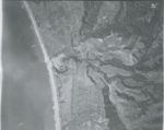
1935 Santa Cruz County Flight C-3300 92a
 Creator:Type:Place:Date Created:1935Description:Subject:Pajaro Valley and Pajaro River
 -
1935 Santa Cruz County Flight C-3300 92
 Creator:Type:Place:Date Created:1935Description:Subject:Pajaro River and Ramsay Park
 -
1935 Santa Cruz County Flight C-3300 91
 Creator:Type:Place:Date Created:1935Description:Subject:Struve Slough, Corralitos Creek, Watsonville Slough, and Ramsay Park
 -
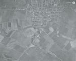
1935 Santa Cruz County Flight C-3300 90
 Creator:Type:Place:Date Created:1935Description:Subject:West Branch Struve Slough, Struve Slough, Corralitos Creek, Hanson Slough, and Harkins Slough
 -
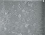
1935 Santa Cruz County Flight C-3300 89
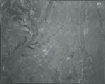 Creator:Type:Place:Date Created:1935Description:Subject:Corralitos Creek and Watsonville Municipal Airport
 -
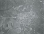
1935 Santa Cruz County Flight C-3300 88
 Creator:Type:Place:Date Created:1935Description:Subject:Corralitos Creek and Harkins Slough
 -
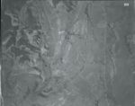
1935 Santa Cruz County Flight C-3300 87
 Creator:Type:Place:Date Created:1935Description:Subject:Corralitos Creek and Larkins Valley
 -
1935 Santa Cruz County Flight C-3300 86
 Creator:Type:Place:Date Created:1935Description:Subject:Corralitos Creek and Larkins Valley
 -
1935 Santa Cruz County Flight C-3300 85
 Creator:Type:Place:Date Created:1935Description:Subject:Corralitos Creek, Aptos Hills-Larkin Valley, and Scott County Park
 -
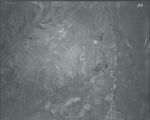
1935 Santa Cruz County Flight C-3300 84
 Creator:Type:Place:Date Created:1935Description:Subject:Pleasant Valley
 -
1935 Santa Cruz County Flight C-3300 83
 Creator:Type:Place:Date Created:1935Description:Subject:Valencia Creek, Pleasant Valley, and Day Valley
 -
1935 Santa Cruz County Flight C-3300 80
 Creator:Type:Place:Date Created:1935Description:Subject:Valencia Creek, Long Valley, Bean Hill, Aptos Creek, and Trout Creek Gulch
 -
1935 Santa Cruz County Flight C-3300 82
 Creator:Type:Place:Date Created:1935Description:Subject:Valencia Creek, Pleasant Valley, Day Valley, Aptos Creek, Trout Creek Gulch, and Long Valley
 -
1935 Santa Cruz County Flight C-3300 81
 Creator:Type:Place:Date Created:1935Description:Subject:Valencia Creek, Long Valley, Aptos Creek, and Trout Creek Gulch