Search Constraints
Filtering by:
Collection
UC Santa Cruz Aerial Photographs Collection
Remove constraint Collection: UC Santa Cruz Aerial Photographs Collection
Place
University of California Santa Cruz
Remove constraint Place: University of California Santa Cruz
Number of results to display per page
Search Results
77 results for:
-
1931-B Santa Cruz County Flight C-1437 B10
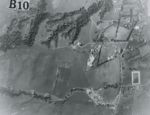 Creator:Type:Place:Date Created:[1931]Subject:University of California Santa Cruz and Pogonip
 -
1931-B Santa Cruz County Flight C-1437
 Creator:Type:Place:Date Created:[1931]Subject:Lighthouse Field, Soquel Point, Capitola, Pajaro Valley, Santa Cruz, Santa Cruz Small Craft Harbor, The Forest of Nisene Marks State Park, University of California Santa Cruz, San Lorenzo River Mouth, Live Oak, Pogonip, Natural Bridges State Beach, Santa Cruz County, and Wilder Ranch State ParkCall Number:1931-B
 -
1931-A Santa Cruz Co. Flight C-1437 A8
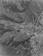 Creator:Type:Place:Date Created:[1931]Subject:University of California Santa Cruz, Pogonip, and San Lorenzo River
 -
1931-A Santa Cruz Co. Flight C-1437 A7
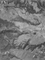 Creator:Type:Place:Date Created:[1931]Subject:University of California Santa Cruz, Pogonip, and San Lorenzo River
 -
1931-A Santa Cruz County Flight C-1437
 Creator:Type:Place:Date Created:[1931]Subject:Santa Cruz County, Felton, Santa Cruz, University of California Santa Cruz, San Lorenzo River Mouth, San Lorenzo Valley, and PogonipCall Number:1931-A
Limit your search
- Image67
- Collection10
- University of California Santa Cruz[remove]77
- Pogonip19
- Santa Cruz10
- Santa Cruz County10
- San Lorenzo River Mouth9
- more Places »
- UC Santa Cruz Aerial Photographs Collection[remove]77
- 1989-E University of California-Santa Cruz Flight 8930825
- 1982-F Santa Cruz, California, Flight AV-219215
- 1989-B Central Santa Cruz County Flight AV 3662-A10
- 1931-B Santa Cruz County Flight C-14375
- 1975 Santa Cruz County Flight SCZCO5
- 1974-Color San Andreas Fault Zone Flight3
- 1931-A Santa Cruz County Flight C-14372
- 1948 U.S. Forest Service Flight CDF-52